After the new year, the Kansas Geological Survey will be measuring groundwater levels in western Kansas to monitor the health and sustainability of the High Plains aquifer.
As the KU News Service reports, the Kansas Geological Survey will have crews near Colby, Atwood, Goodland, St. Francis, Tribune, Syracuse, Ulysses, Liberal, Meade and Dodge City during the first week of January to measure groundwater levels in 568 wells.
Groundwater levels are checked every year in December, January and February to avoid short-term declines caused by pumping during the growing season.
The measurements are done in coordination with the Kansas Department of Agriculture’s Division of Water Resources (DWR), which is measuring an additional 825 wells in central Kansas and other parts of the High Plains aquifer.
“Given the above normal precipitation across much of western and south-central Kansas last year, I’m anticipating improved water-level changes relative to what we experienced three to five years ago, especially in southwest and south-central Kansas,” said Brownie Wilson, KGS water-data manager. “That may not hold true in Northwest Kansas, but we will see.”
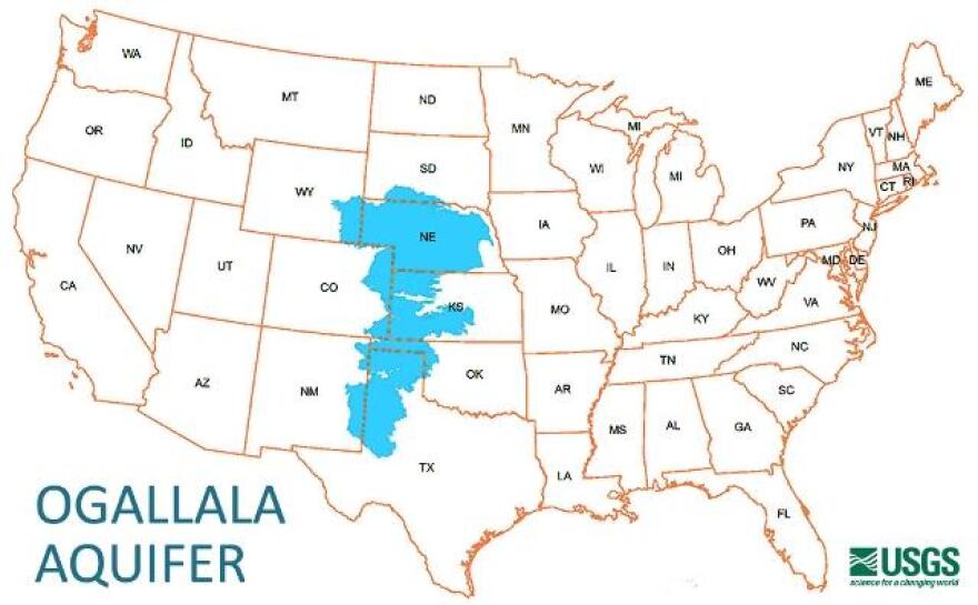
Most of the wells being measured by the KGS are charged by the Ogallala aquifer, which makes up the bulk of the High Plains aquifer, a massive network of underground water-bearing rocks underlying parts of eight states.
KGS keeps records of annual measurements for each well at its website.


